Log in
All resources
Create a design
35,787 Free Images of 1815 Maps
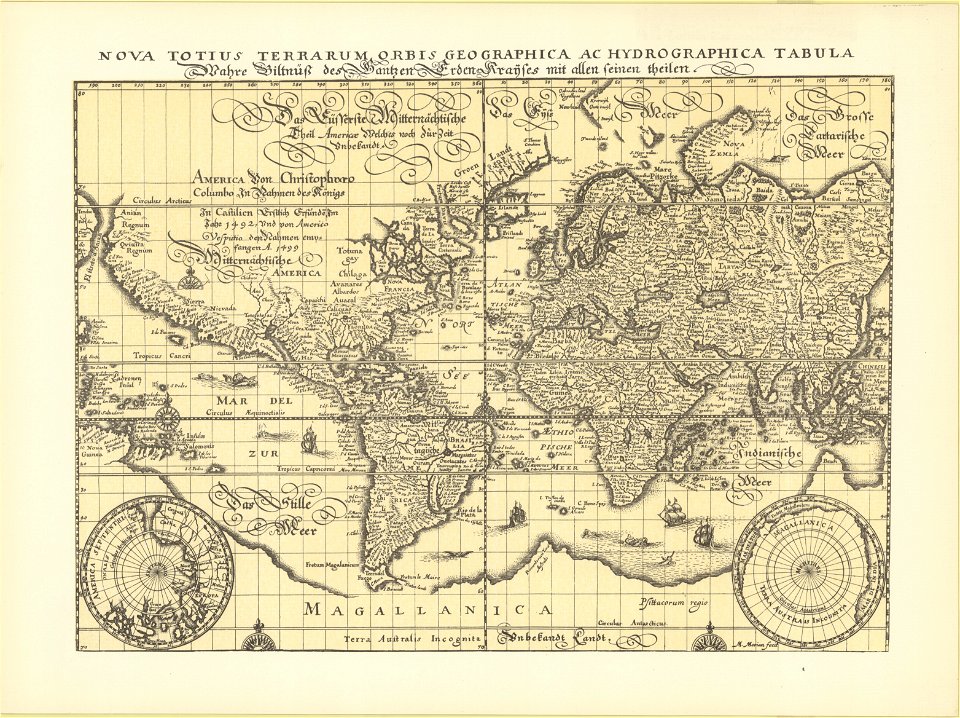
maps in the library of congress
maps made in the 17th century
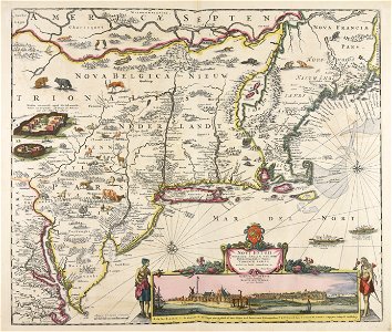
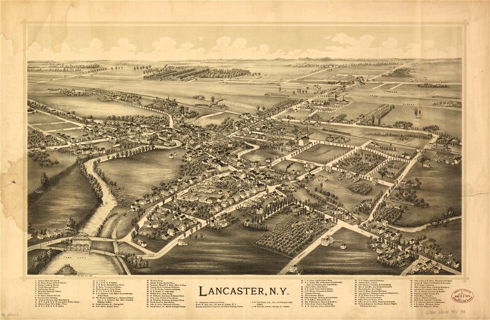
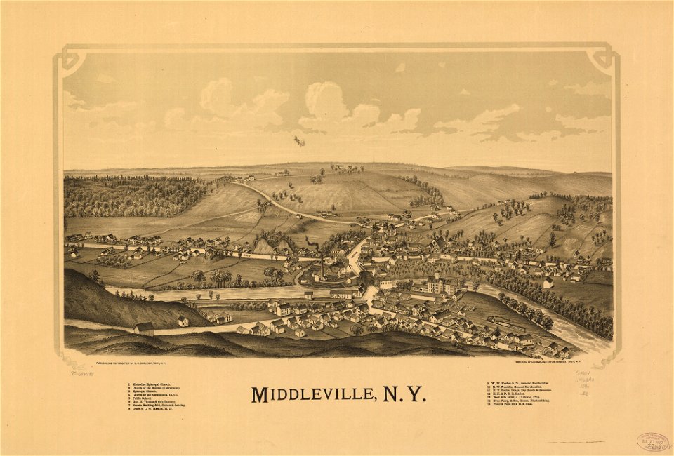
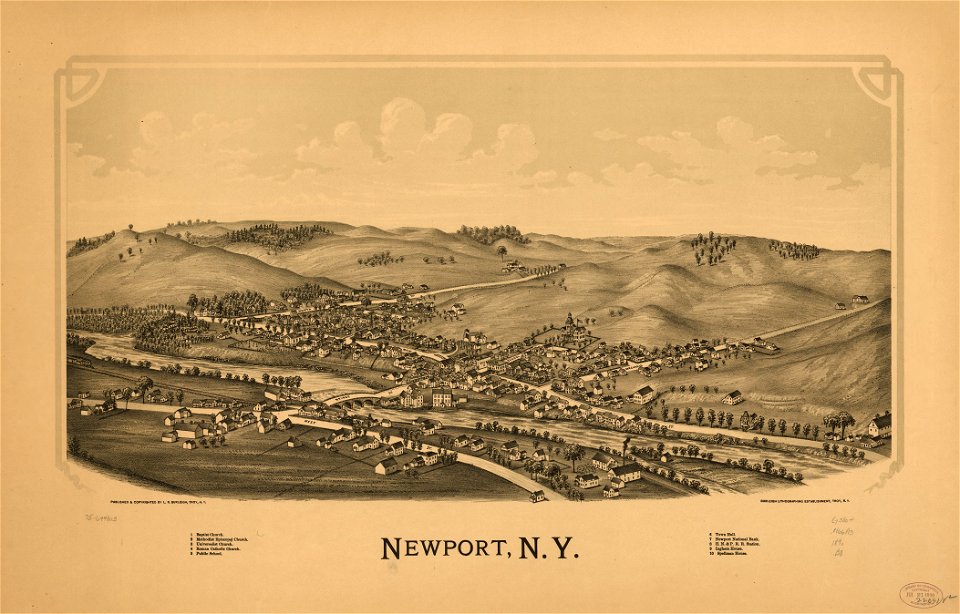
new york
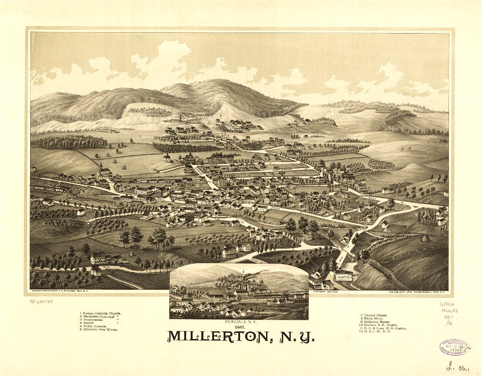
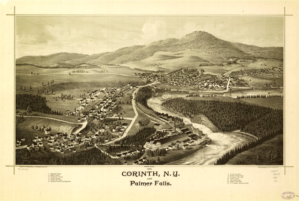
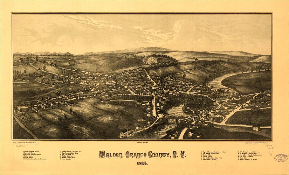
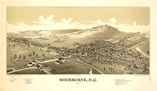
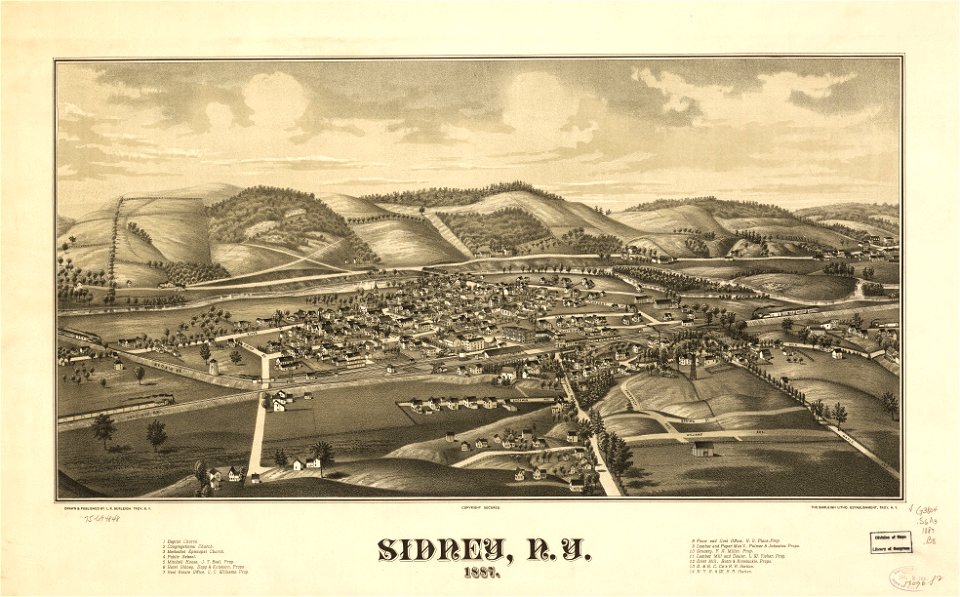
l. r. burleigh
maps by pieter schenk (i)
town maps by l. r. burleigh
atlantis magni tomus tertius (biblioteca comunale di trento)
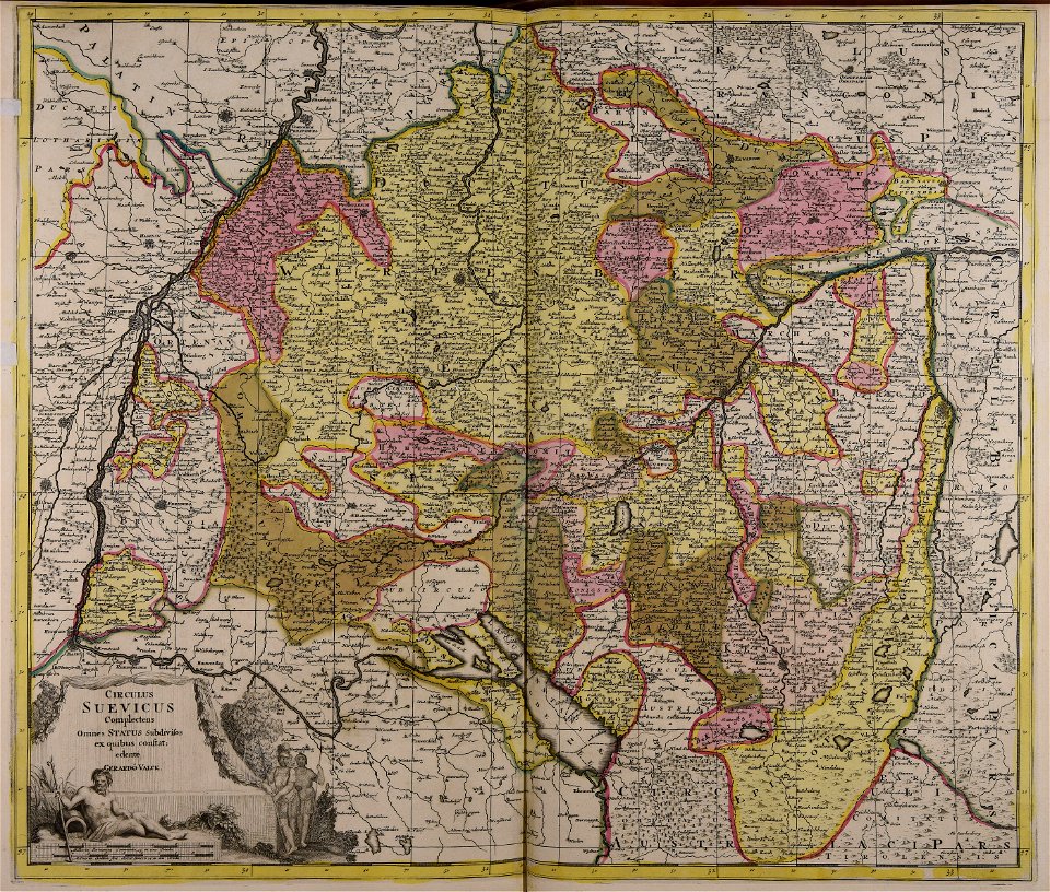
gerard valck
1887 maps of new york (state)
maps made in the 18th century
maps by nicolas sanson
northern michigan
maps made in the 18th century
old maps of iran
the northern hemisphere of the celestial globe by albrecht dürer
old celestial maps
maps made in the 17th century
maps by nicolaes visscher i
upper lusatia
kwisa
images from the new york public library
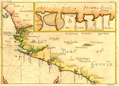
old maps of the tsardom of russia
maps made in the 17th century
maps by nicolaes visscher i
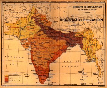
old maps of the indian subcontinent
1909 maps of india
fonds ancely - bibliothèque municipale de toulouse - maps
robert batty (artist)
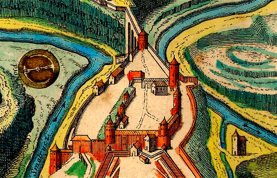
burg meersburg
pencil drawing
johannes kip
1732 maps
maps made in the 18th century
old maps of flanders
files from the bodleian libraries
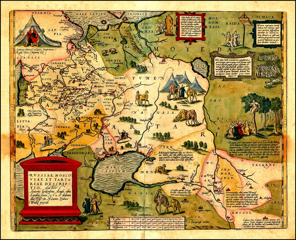
maps of tartary
maps made in the 18th century
old maps of saxony
maps of kamianets-podilskyi
nicolas de fer
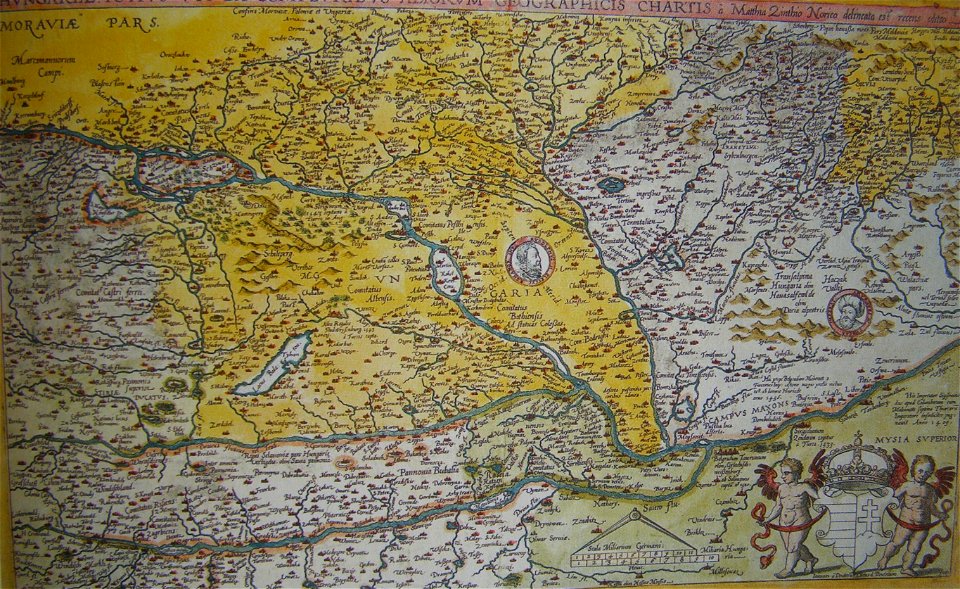
old maps of the history of hungary
old maps of the ottoman empire
maps made in the 17th century
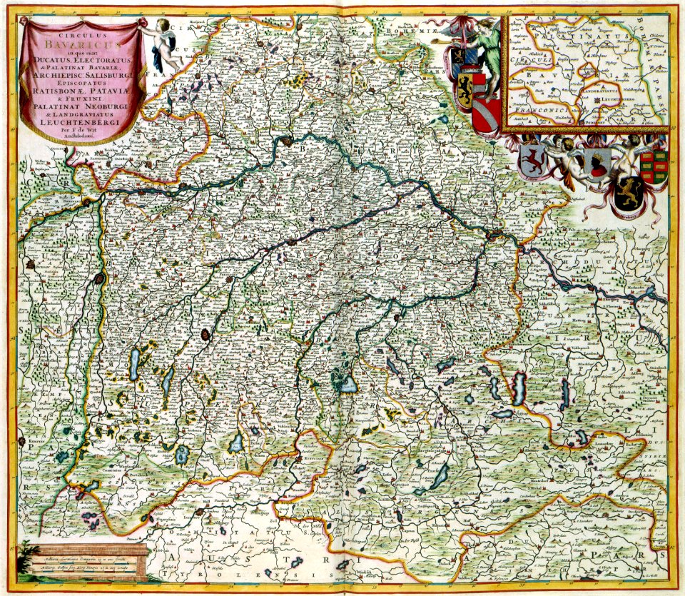
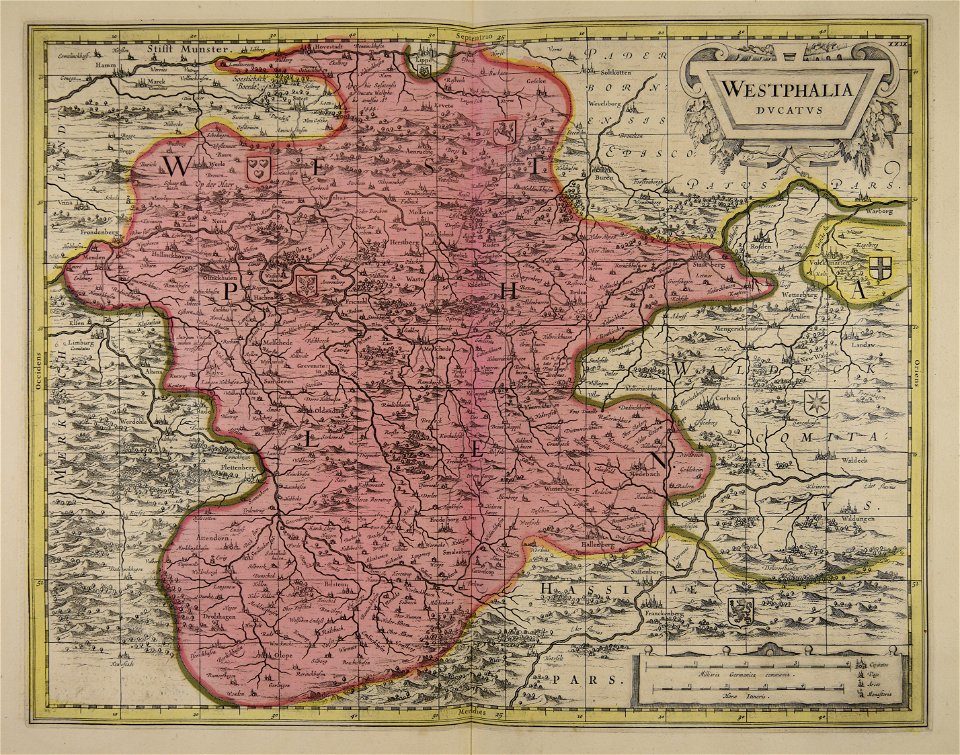
old maps of westphalia
maps made in the 17th century
maps by pieter schenk (i)
maps made in the 17th century
maps by nicolaes visscher i
maps made in the 17th century
maps by nicolaes visscher i
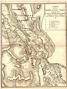
old maps of vietnam
1899
copper engraving
beavers in art
maps of the dutch east india company - japan
1747)
maps made in the 17th century
gerard valck
maps made in the 17th century
gerard valck
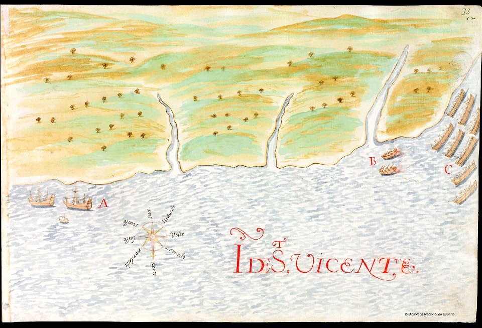
history of saint vincent and the grenadines
pictorial maps
erie county
new york
erie county
new york
maps from the mechanical curator collection
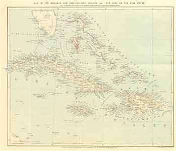
the land of the pink pearl
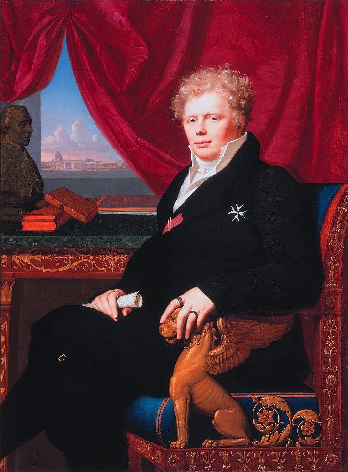
19th-century oil on canvas paintings in the netherlands
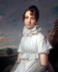
females with white dresses in art
19th-century oil portraits of sitting men at three-quarter length
19th-century portrait paintings in the united states
maps from the mechanical curator collection
william peel (royal navy officer)
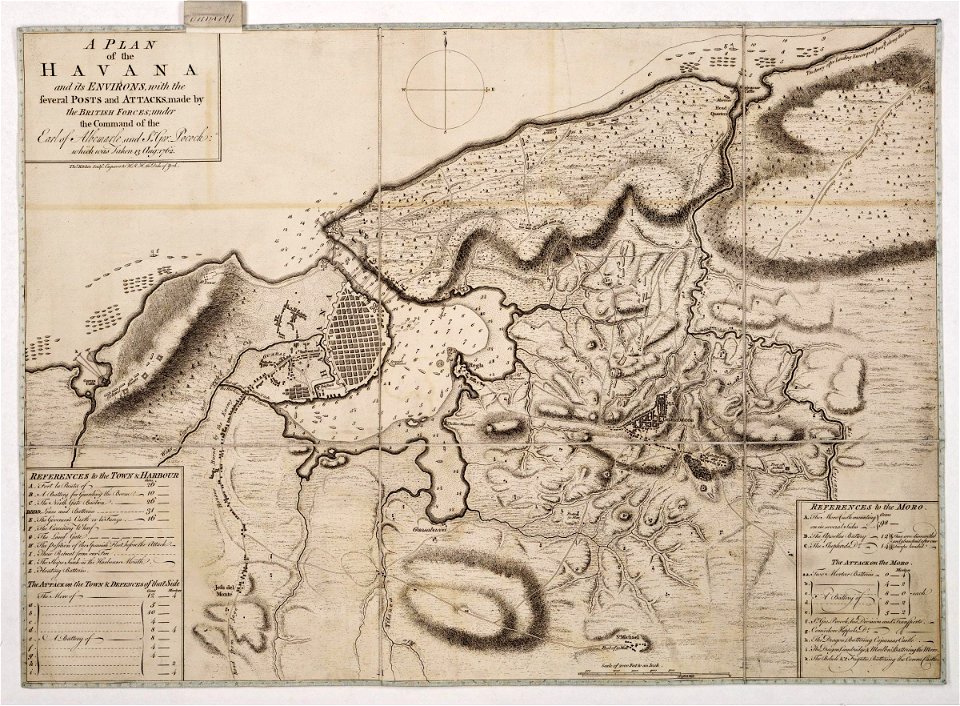
morro castle (havana)
london
prints from dankaerts historis at the peace palace library
hendrik hondius (i)
atlas van der hagen (volume 3)
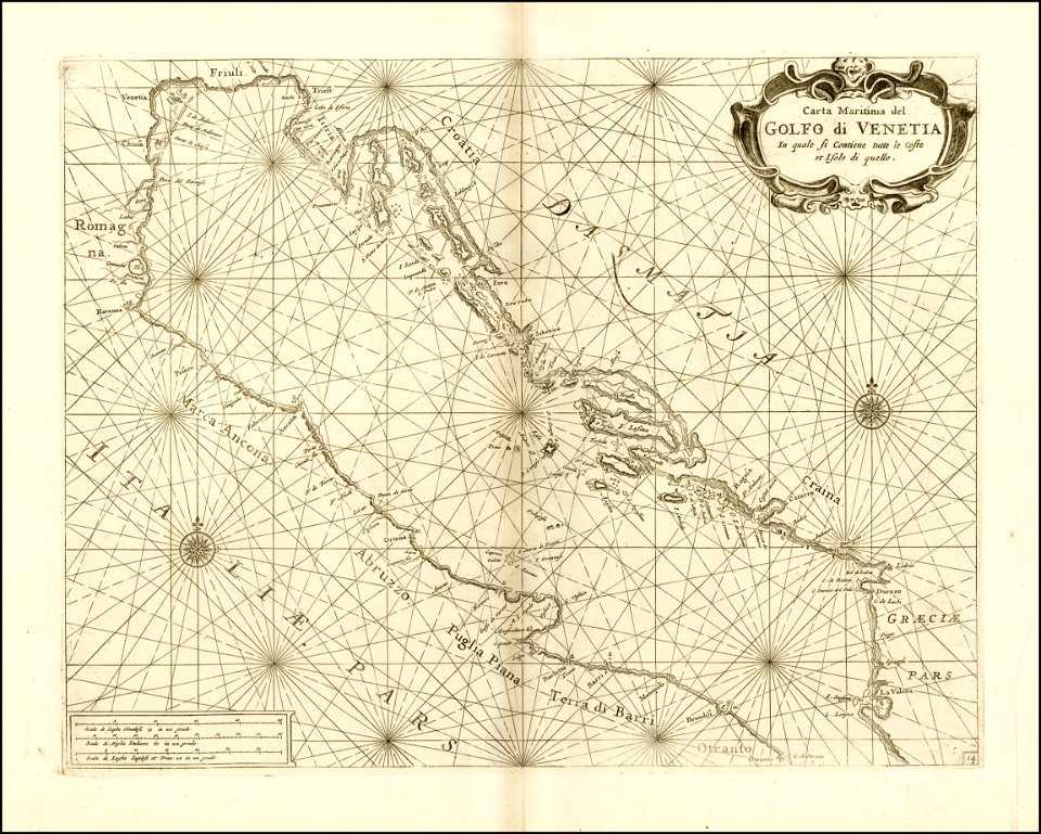
maps with cartouches
l'illustration
1853
historical images of solothurn
carl durheim
johann baptist homann
old maps of greece
zhangye
lanzhou
important cultural property of japan in tokyo
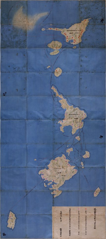
maps in the national archives of japan
maps made in the 17th century
gerard valck
fonds ancely - bibliothèque municipale de toulouse - maps
frédéric-auguste laguillermie
fonds ancely - bibliothèque municipale de toulouse - maps
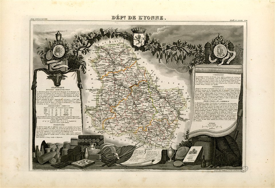
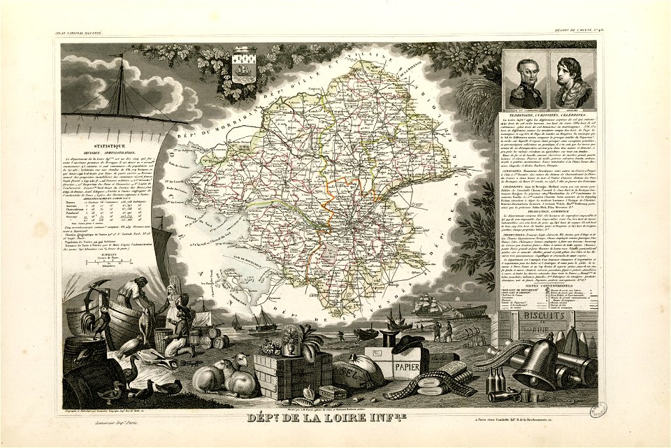
victor levasseur - maps of france
fonds ancely - bibliothèque municipale de toulouse - maps
jean bart
maps in the library of congress
new york
old maps of new york (state)
new york
new york
corinth
maps made in the 18th century
gerard valck
maps by frederick de wit
maps with cartouches
puerto rico
1665
atlantis magni tomus primus (biblioteca comunale di trento)
17th-century maps of schleswig-holstein
new york
delhi
maps by jacques-nicolas bellin
jacques-nicolas bellin
european exploration of africa
maps by john thomson
maps with cartouches
copper engraving
maps with cartouches
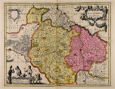
old maps of france
atlas van der hagen (volume 4)
maps with cartouches
maps by nicolaes visscher i
old maps of upper austria
new york
altamont
old maps of north rhine-westphalia
netherlands
maps made in the 17th century
maps by pieter schenk (i)
old maps of new york (state)
new york
hand-drawn maps and views of world war i battlefields by h.m.
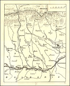
old maps of wallachia
maps made in the 17th century
gerard valck
maps made in the 18th century
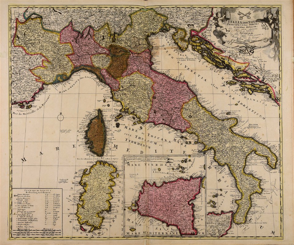
18th-century maps of italy
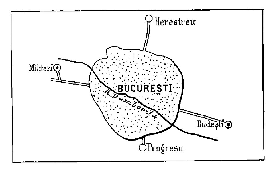
bucharest
military
maps in the library of congress
new york
maps made in the 17th century
jan janssonius
maps made in the 17th century
gerard valck
ticonderoga
new york
maps made in the 17th century
gerard valck
maps made in the 17th century
gerard valck
maps made in the 17th century
gerard valck
new york
walden
sherburne
new york
new york
sidney
maps in the library of congress
new york
maps made in the 17th century
gerard valck
new york
newport
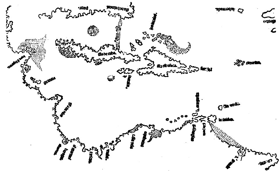
images from the john carter brown library
1500s maps of the caribbean
maps by brockhaus
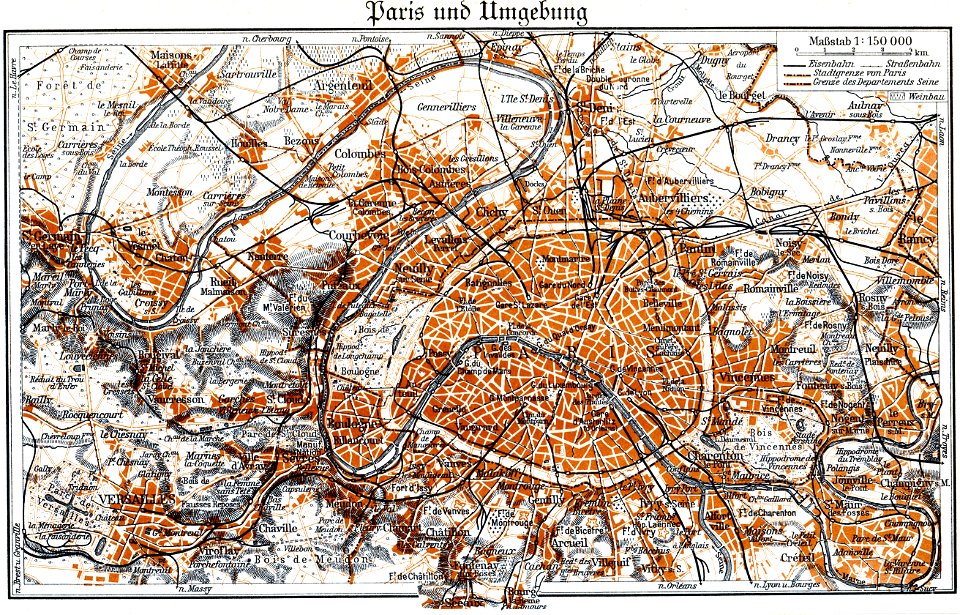
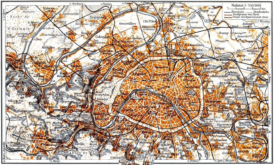
1937 in paris
maps by brockhaus
1937 in paris
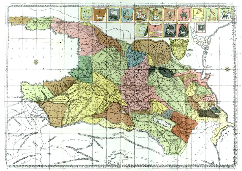
description of kingdom of georgia
its habits and canons
maps in the library of congress
new york
maps made in the 17th century
old maps of westphalia
new york
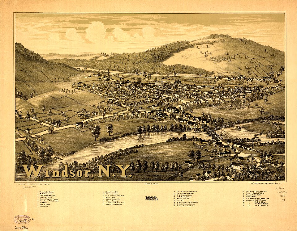
windsor
new york
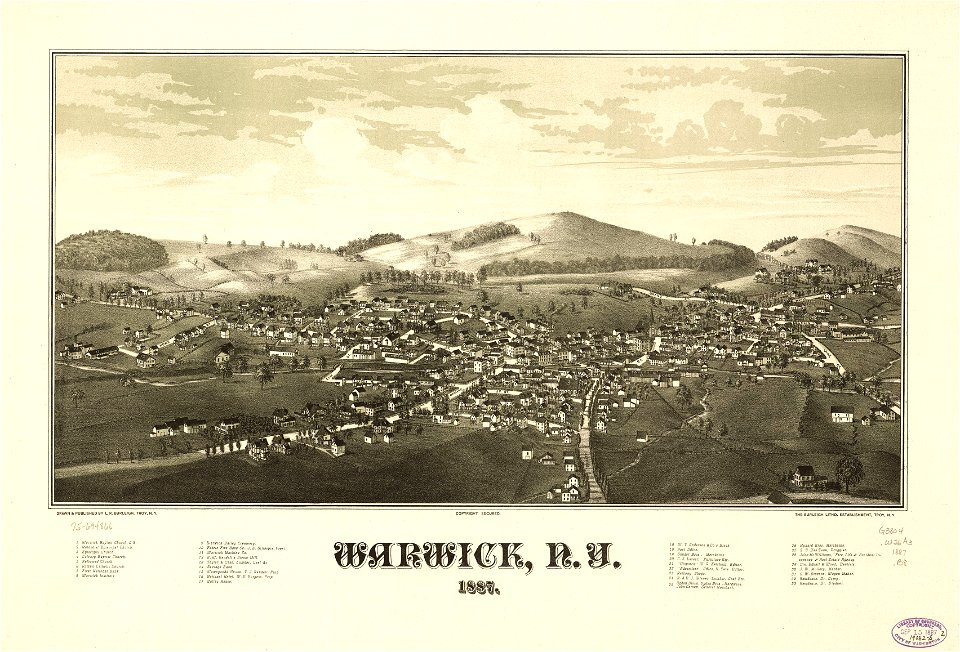
warwick
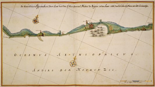
johannes vingboons
1666 maps
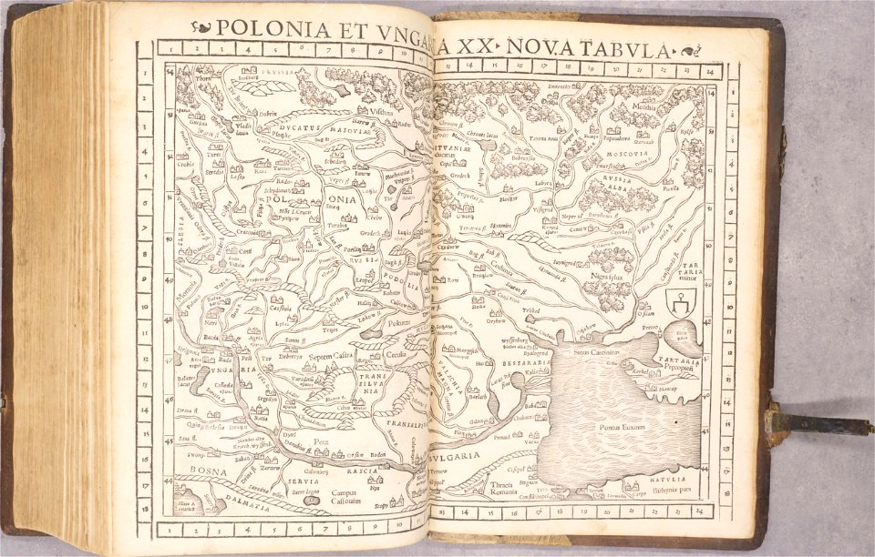
old maps of poland
1552
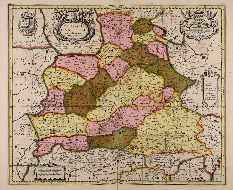
old maps of spain
1552
maps in the national library of australia
matthäus merian
vincenzo coronelli
1690s maps
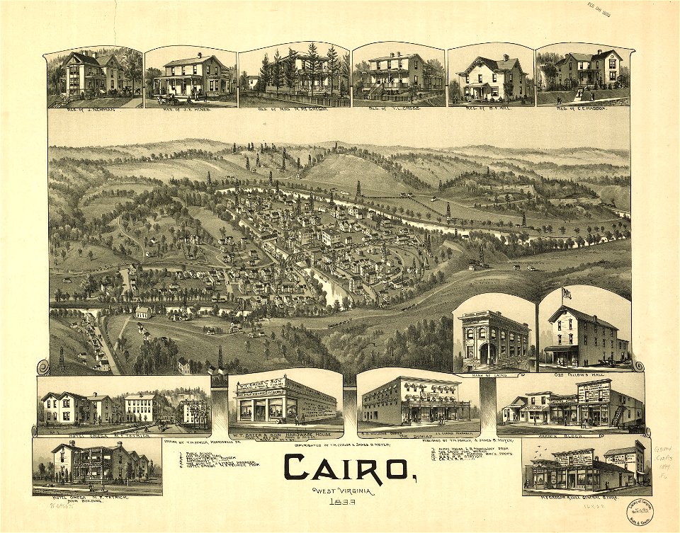
west virginia
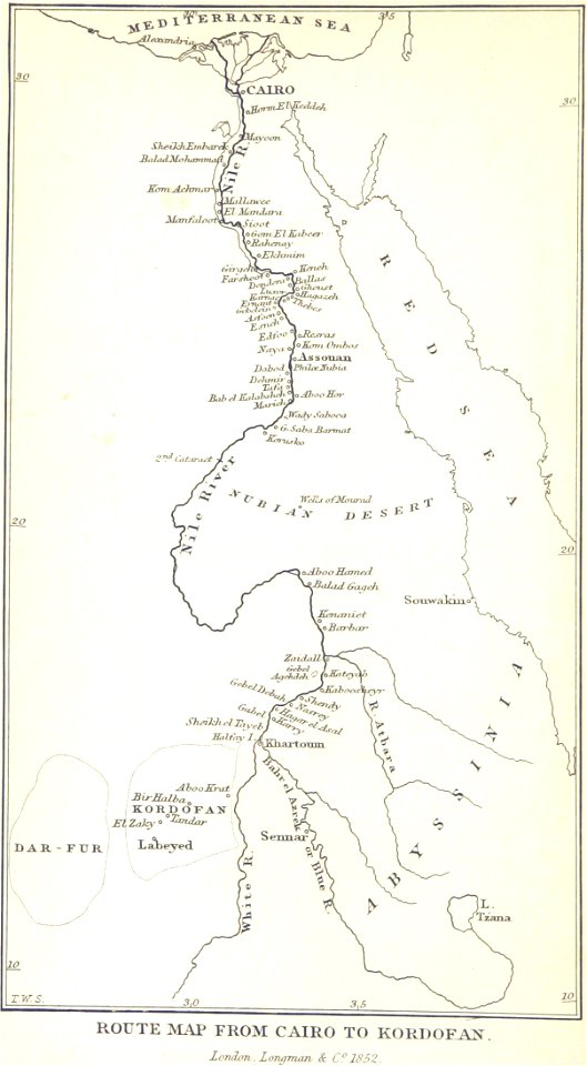
cairo
west virginia
cairo
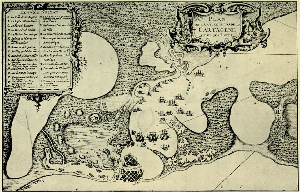
old maps of cartagena
colombia
new york
carthage
1902 maps
spain
walter kaudern expedition to celebes
20th-century maps of indonesia
charte von schwaben (bohnenberger)
old maps of the danube
19th-century maps of bavaria
staffelsee
4301 - 4400 of 35,787
Next page
/ 358